
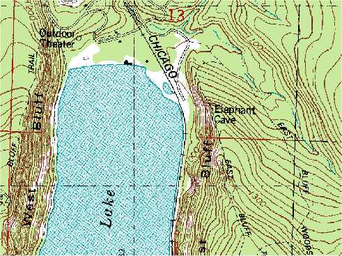
DRG stands for digital raster graphic and is a scanned image of USGS (U.S. Geological Survey) topographic maps for us on a computer. The newly scanned image is the raster image and usually includes the original border information. The above map is a representation of a DRG.
No comments:
Post a Comment